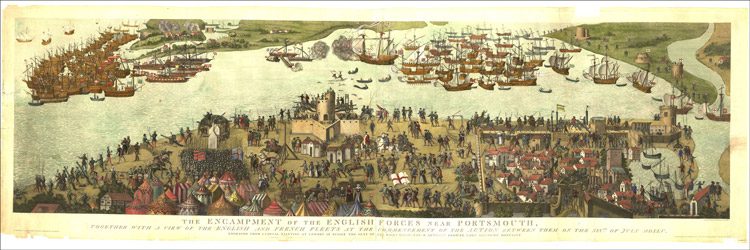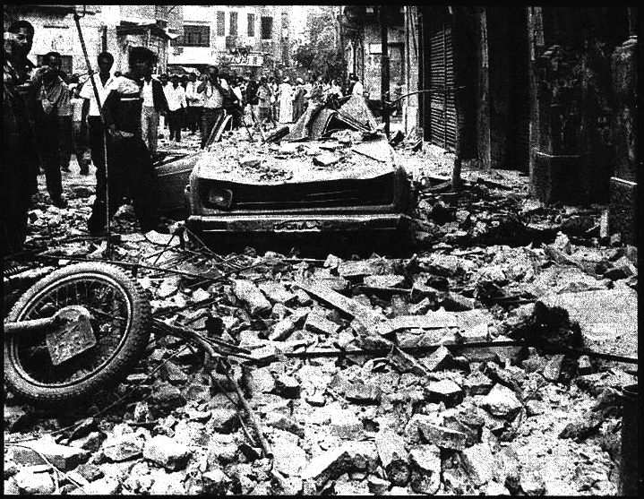
1992 Cairo earthquake
1992-cairo-earthquake-1753062413801-c419fd
Description
The 1992 Cairo earthquake, also known as the Dahshur earthquake, occurred at 15:09 local time on 12 October, with an epicenter in the Western Desert near Dahshur, Giza, 35 km (22 mi) south of Egypt's capital city, Cairo. The earthquake had a magnitude of either 5.8 or 5.9, but was unusually destructive for its size, causing 561 deaths and injuring 12,392 people. It also made "over half a million people homeless", destroying or significantly damaging "129,000 residential buildings and houses" in tens of cities and villages across 16 governorates, in Greater Cairo, the Delta, and northern Upper Egypt. It was the most damaging seismic event to affect Egypt since 1847.
ID: 1992-cairo-earthquake-1753062413801-c419fd